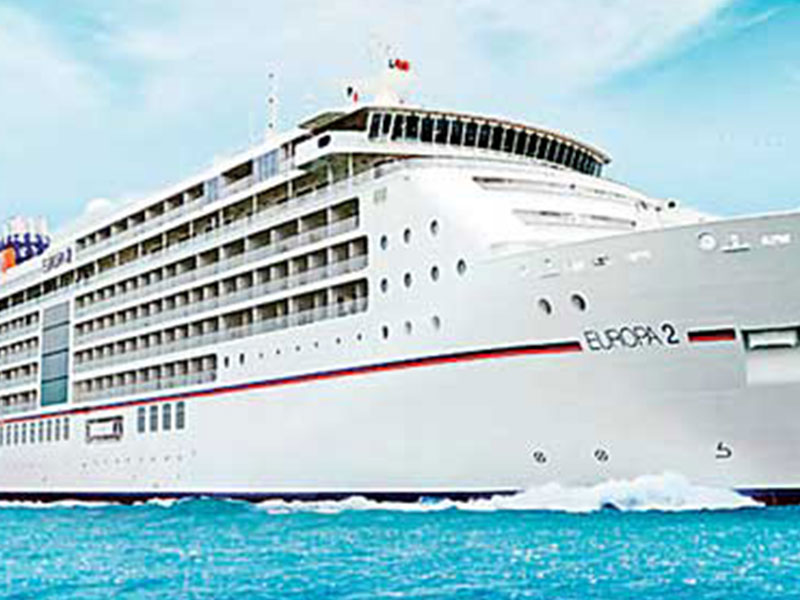
“Since 1983, Sri Lanka hasn’t exercised its right to receive income from ships sailing through its waters,” explained Justice Minister Wijeyadasa Rajapakshe at a recent National Security Committee meeting. The new bill aims to change that by establishing a legal framework for charging for the use of these electronic charts, potentially bringing in a steady stream of annual dollar income.
These charts will be an invaluable resource for navigators, providing detailed and up-to-date information about Sri Lankan waters, including depths, hazards, and navigational aids. By making them available electronically, the government can streamline the process and ensure accuracy, while also creating a revenue stream from the fees charged to ships for accessing them.
The National Hydrographic Office, established under the bill, will further solidify Sri Lanka’s maritime expertise by registering hydrographic surveyors and nautical cartographers. This will not only contribute to the accuracy and quality of the electronic charts but also create new professional opportunities within the country’s maritime sector.
Sri Lanka’s move reflects a growing trend among coastal nations to leverage their maritime resources for economic benefit. By monetizing its strategic location and expertise, the country can potentially generate significant revenue while also enhancing navigational safety and contributing to the development of its maritime sector.
However, it’s important to note that concerns might arise regarding potential cost increases for shipping companies and potential impacts on international trade. Careful consideration of these factors and open dialogue with stakeholders will be crucial for Sri Lanka to successfully implement this new initiative and turn its waters into a source of sustainable economic growth.


